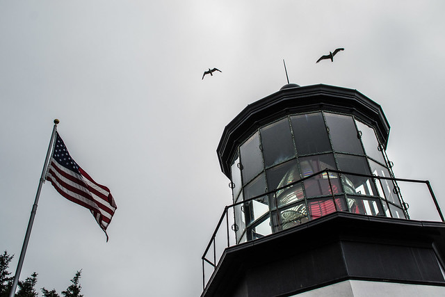
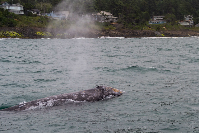
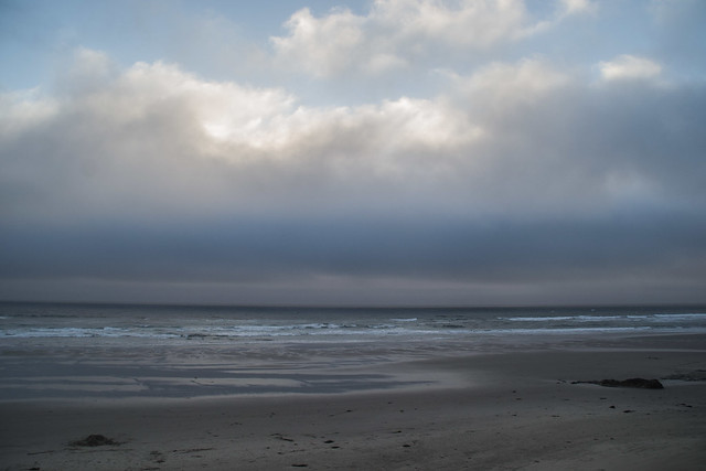
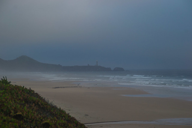
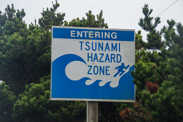
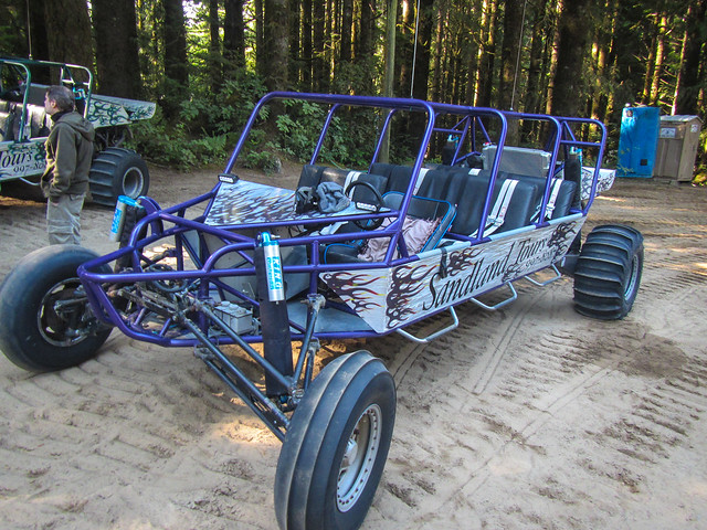
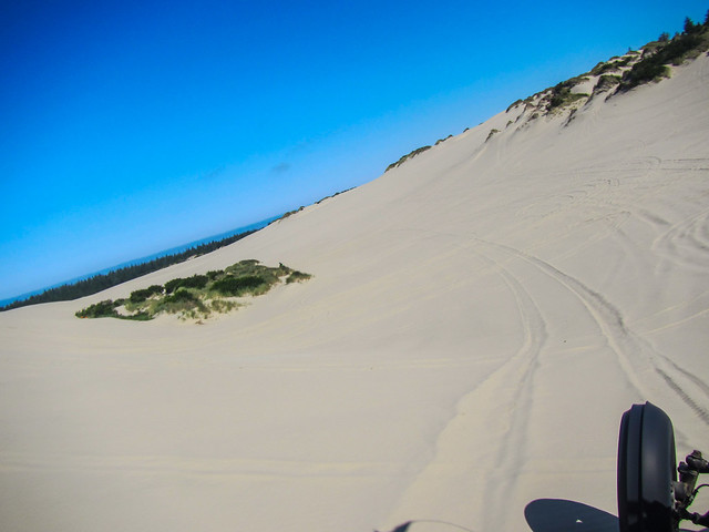
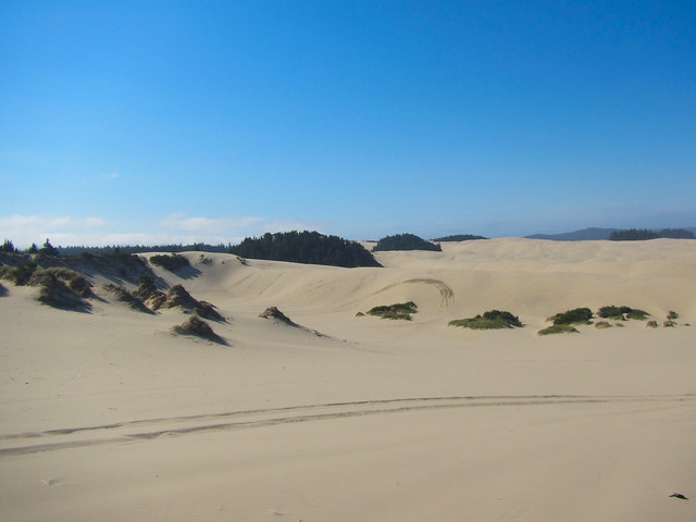
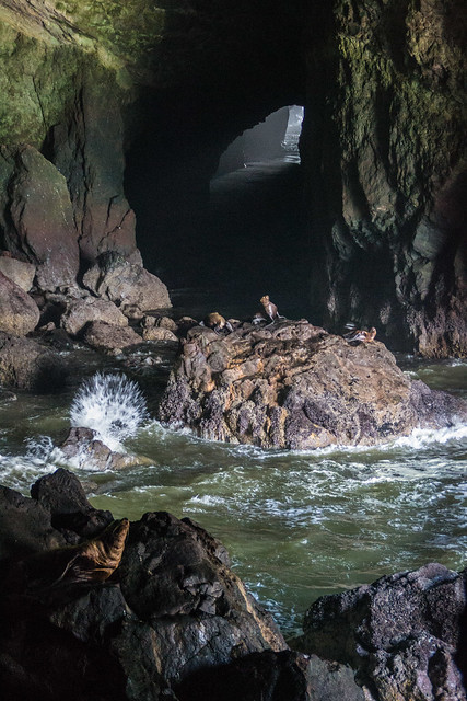
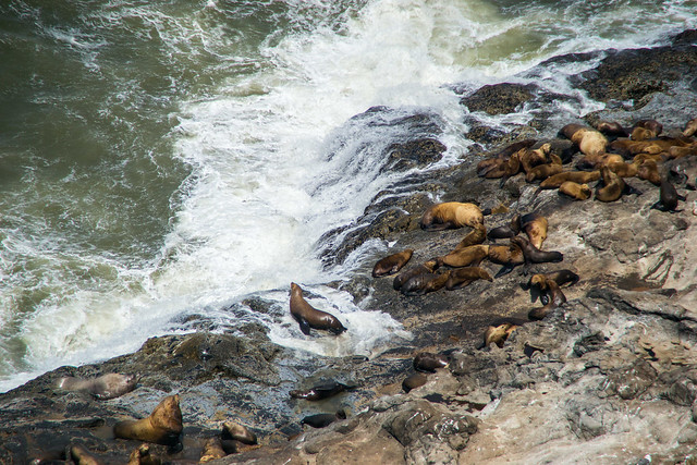
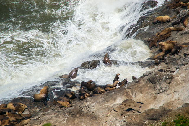
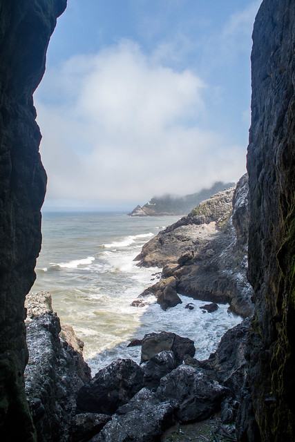
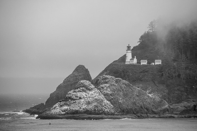
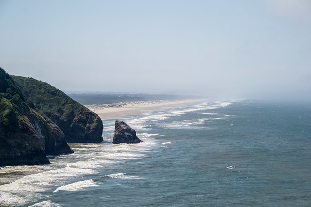
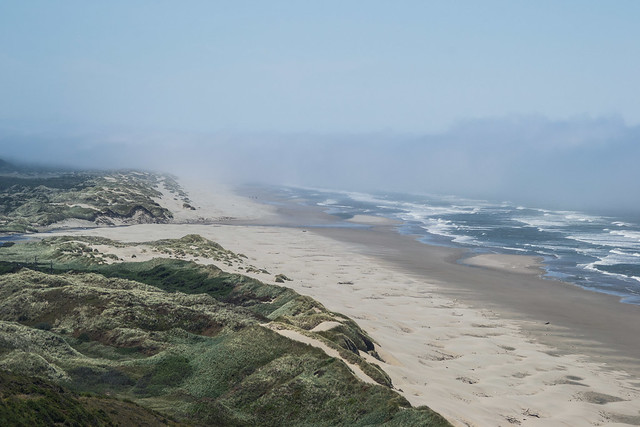
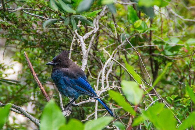
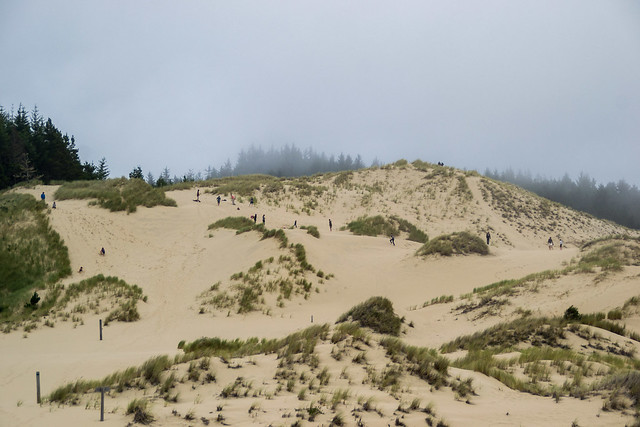
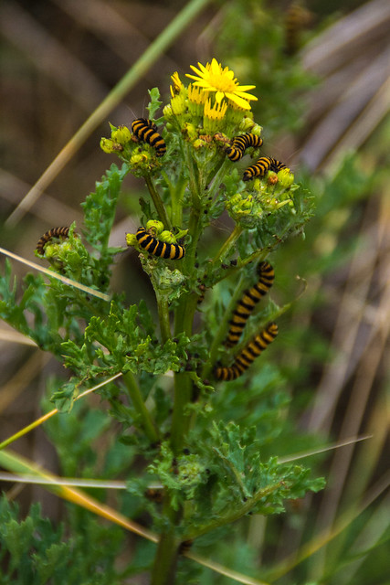
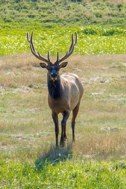
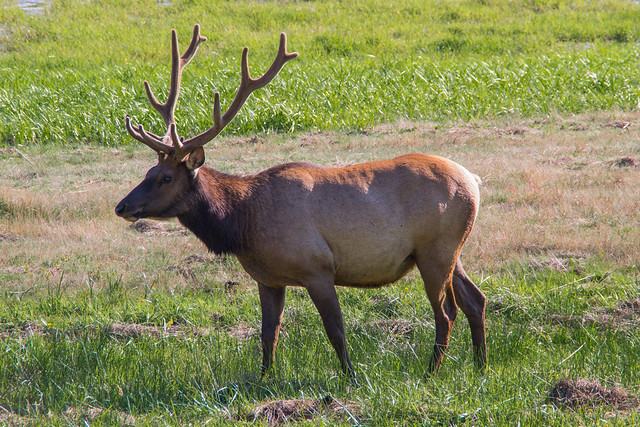
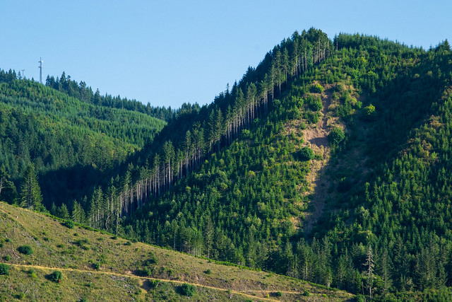
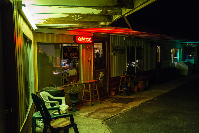
My 4000 pictures from last time pales in comparison to this year - I took ~12,000 pictures. I've been going through them and have started posting them to flickr. Some of you may have seen them, but I'll post a smattering of them here as I post over there. I will also be adding them as albums by city/area to the collection "Pacific Northwest Roadtrip" and as albums by state to the collection "50 States".
We hit the Portland Farmer's Saturday Market at Portland State University the first morning
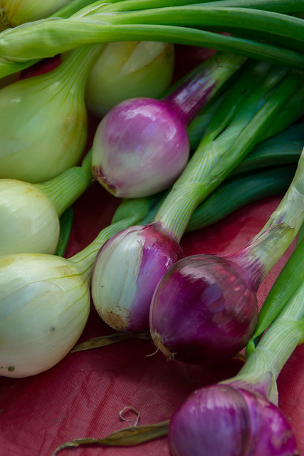
Onions by vynsane, on Flickr
Berry Vendor by vynsane, on Flickr
and then walked around town a bit on our way to the Saturday/Sunday Market on the bank of the Willamette River
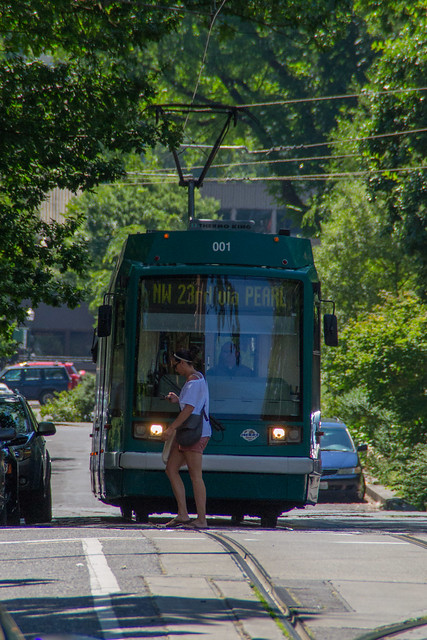
right of way by vynsane, on Flickr
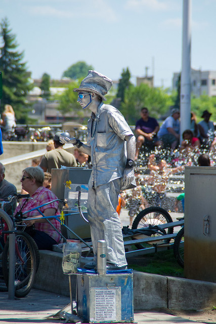
Silverman by vynsane, on Flickr
Of course, we ran into a bunch of superheroes on our way to Voodoo Doughnut, because Portland.
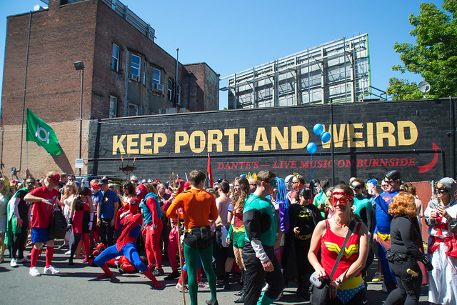
Stay Weird, Portland by vynsane, on Flickr
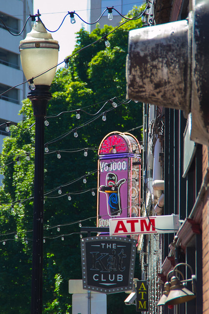
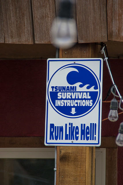
Signs by vynsane, on Flickr
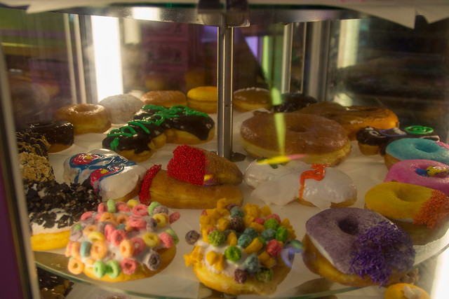
Selections by vynsane, on Flickr
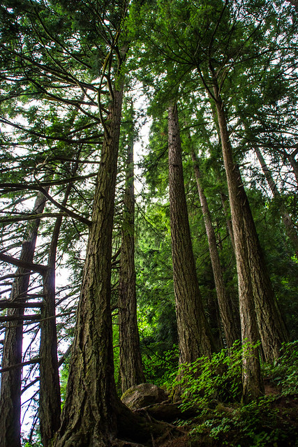
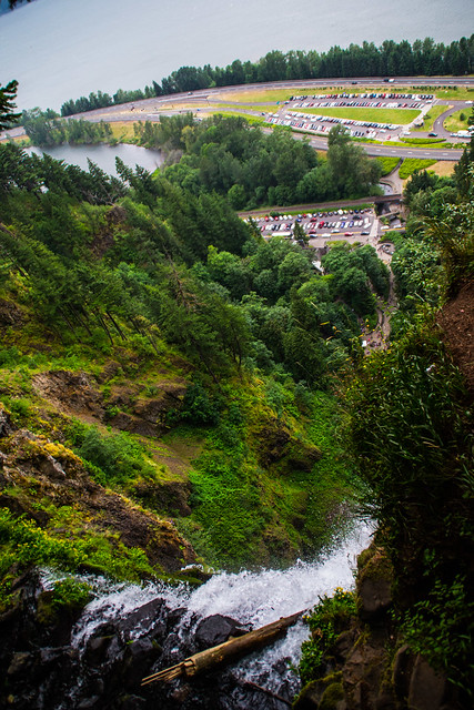
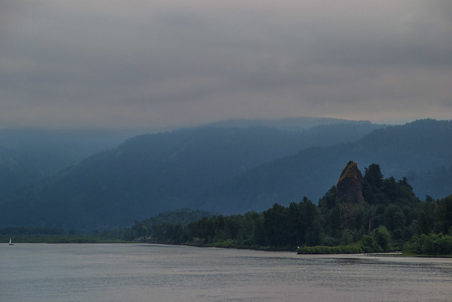
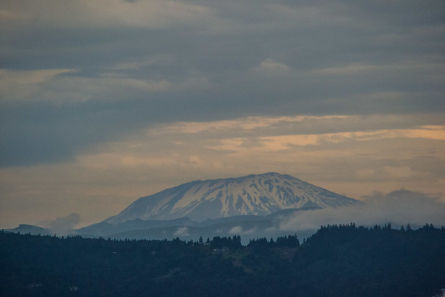
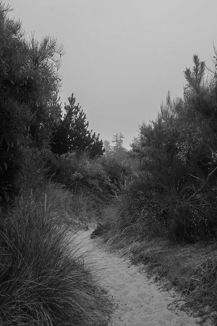
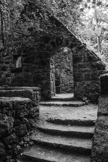
We finished the day with a hike down the Wildwood Trail in Macleay Park to the abandoned "witch house" (former ranger station/bathroom).
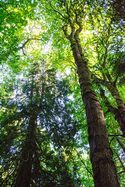
Wildwood Trail, Macleay Park by vynsane, on Flickr
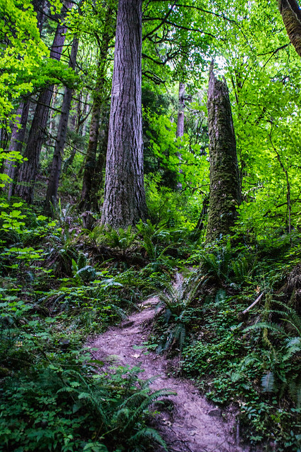
Wildwood Trail, Macleay Park by vynsane, on Flickr
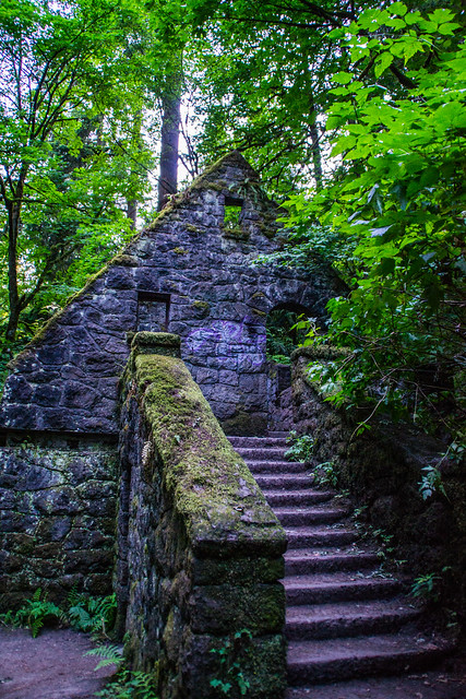
Wildwood Trail, Macleay Park by vynsane, on Flickr
Wildwood Trail, Macleay Park by vynsane, on Flickr
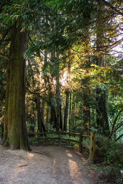
Wildwood Trail, Macleay Park by vynsane, on Flickr